








Veliko Tarnovo launches interactive map of its General Development Plan
The public platform supports searches by address, cadastral identifier and regulated land plot number.
Share this article
Veliko Tarnovo Municipality has launched a public interactive platform for its General Development Plan. It is accessible through the E-Municipality module and a direct link, and is intended for residents, investors, planners and administrative specialists.
The map brings together zoning plans, cadastral data, cultural heritage sites, transport and utility infrastructure, natural areas and Natura 2000 protected sites. Its layers can be overlaid and compared.
Users can search by address, cadastral identifier or regulated land plot number, measure distances and areas, change the base map and print a selected report. The platform also works on mobile devices.
Open the interactive platform.
Sources and photograph
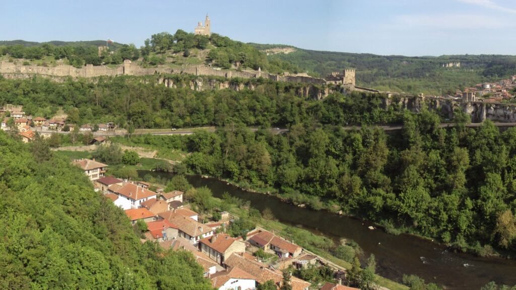
Illustrative photo: Ståle Grut / Unsplash. It does not show Veliko Tarnovo Municipality's platform.